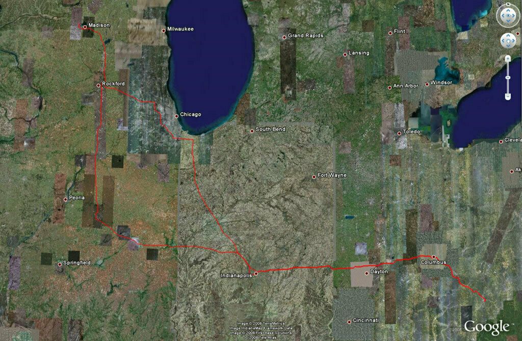
It was back to work for me today. This is a map I made from my GPS logger and Google Earth. The logger is the GlobalSat DG-100. The hardware is excellent, but the software is terrible. It took me over two hours to extract the data. Trying to copy all the data off at once (as you do normally) gave errors, so I had to manually highlight a few dozen points at a time and load, often resulting in error requiring the selection of a smaller subset. It was horrible, but I suffered through it for this map. You can see on the way home, just past Indianapolis the detour I had to take west. The highway was blocked due to an accident. Apparently it was backed up for over a hundred miles. I saw the parking lot first hand where the red track splits. Luckily my TomTom could route me around it.